And here we are again – Cumbria, Northumberland and the Scottish Borders.
Driving from Somerset to Penrith in a heatwave is not recommended, especially when one has a dog who needs to be walked, given water etc every two hours. Motorway most of the way, massive lorries, vans etc. 38 degrees in one of the many MANY traffic jams. Sunshine all the way, even on Alston Moor – a place 25 miles outside and several degrees colder than Penrith. The south of England has had what amounts to no rain since early spring. Grass in the North is green not brown so presumably they’ve had a little.
From Alston I drove across the moor to Hexham and then up through the Northumberland National Park (https://www.northumberlandnationalpark.org.uk) and the Kielder Forest (https://www.visitkielder.com) into Scotland.
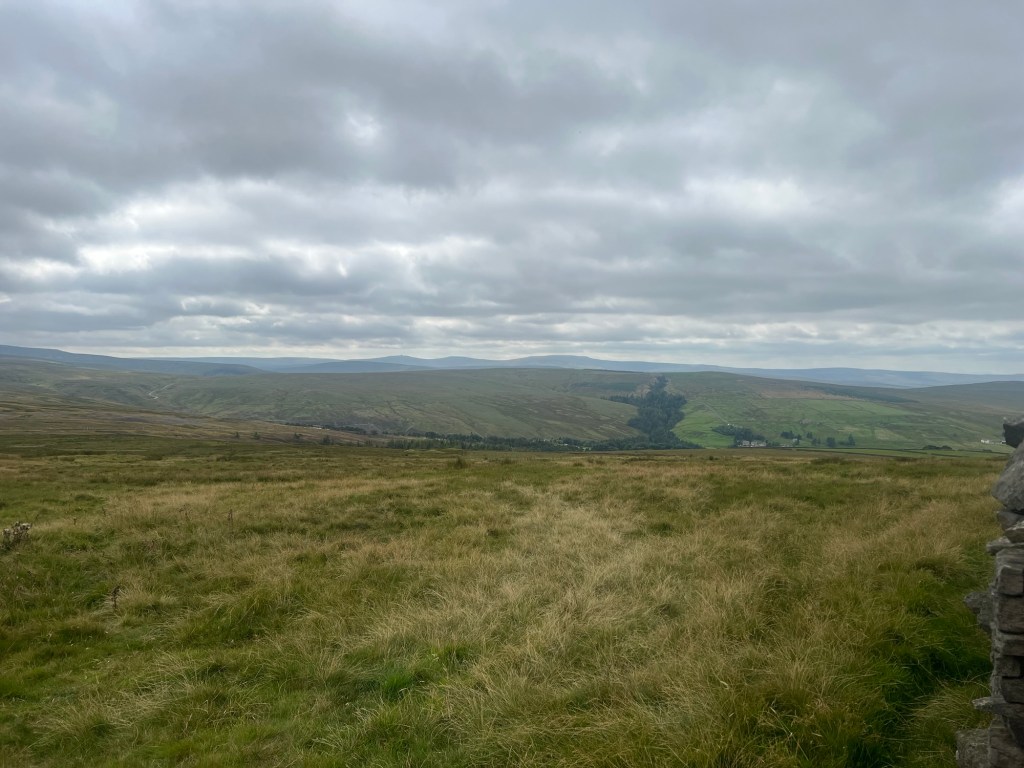
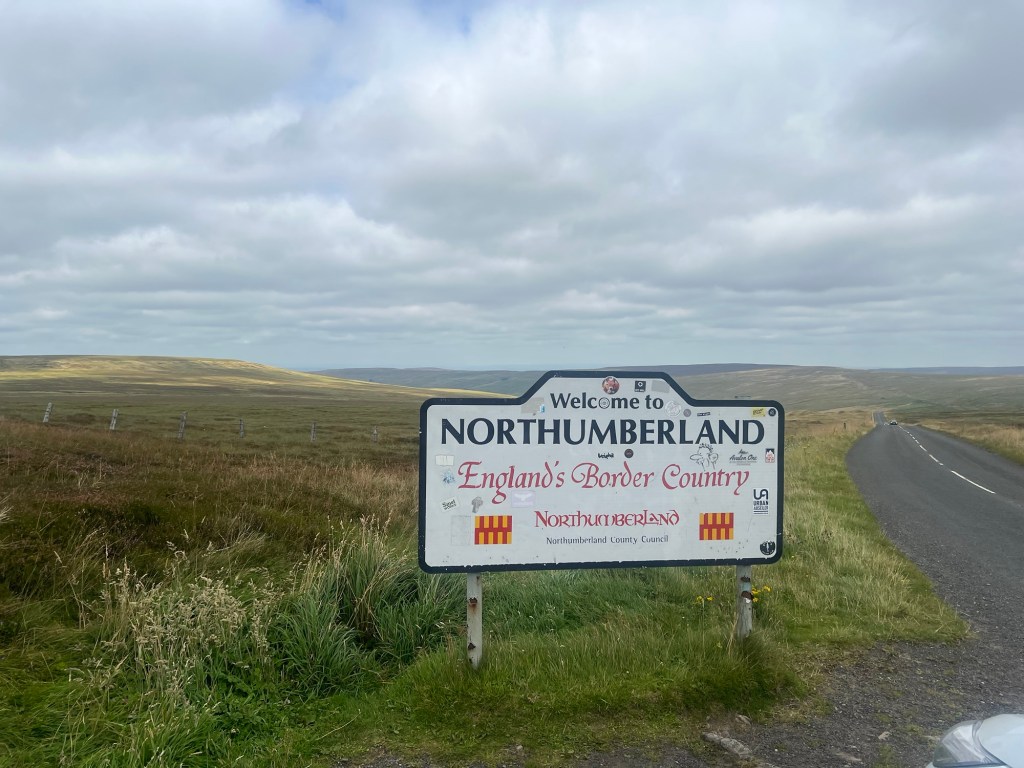
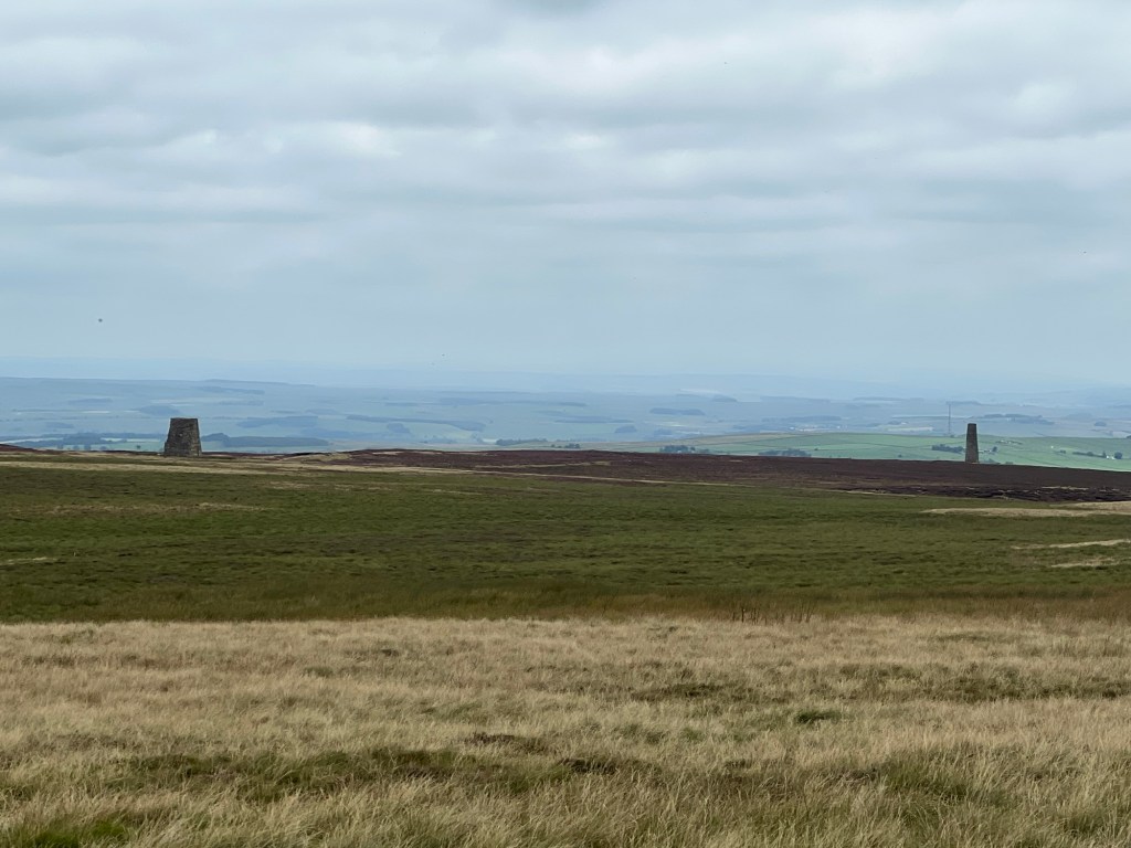
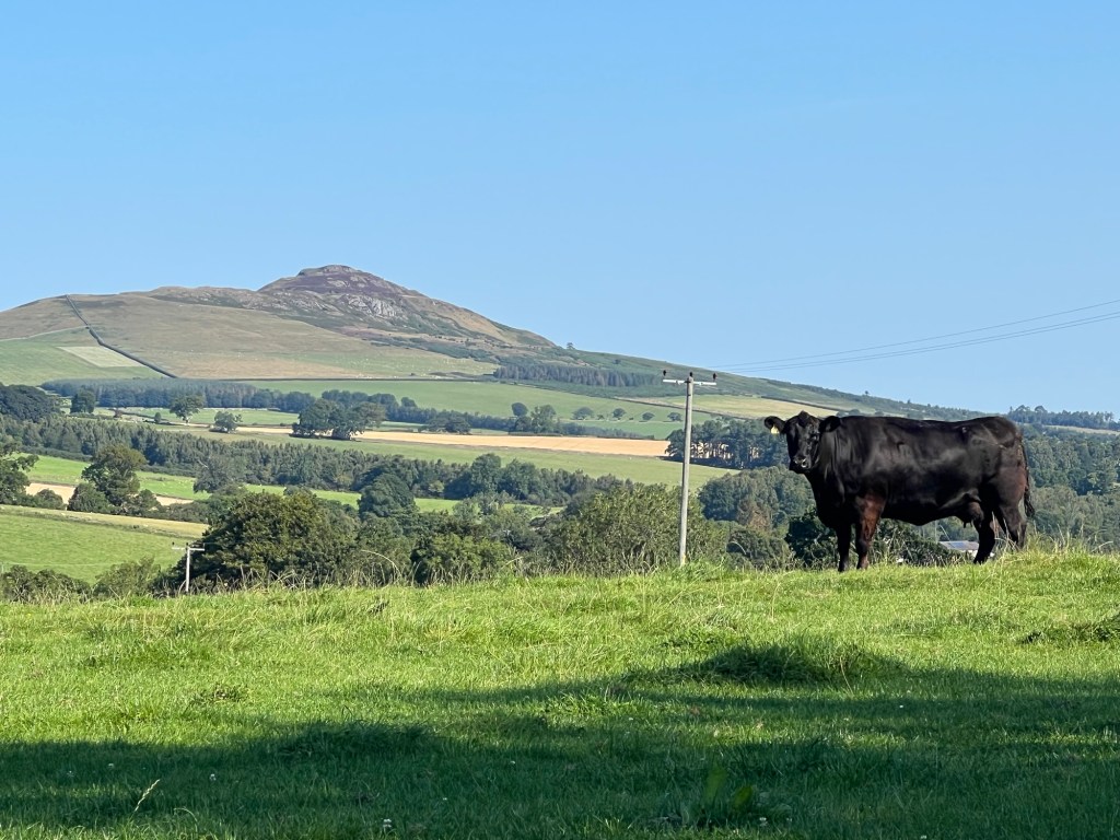
Long, long straight roads and a very low population. There are apparently several reasons for this. Many of the roads were originally built by the Romans as part of their efforts to subdue the Scots. When they gave up on that idea and built Hadrian’s Wall to keep them out, they had to build roads to service the forts and people living on the wall. For years through the Middle Ages and up to the union of Scotland with England in 1603, the border between the two countries was a bit of a moveable feast – parts of it labelled The Debatable Land – as the locals tended to more loyalty to their family and clan rather than whichever King they were supposed to be under. Years of sheep and cattle stealing, raiding of each other’s lands and property led to everyone being tarred with the same brush. They were referred to as the Border Reivers (https://en.wikipedia.org/wiki/Border_reivers) and, when the clearances happened in the Highlands in the 18C, they happened in the Borders as well. Apparently, a lot of the traditional culture in the Appalachians descends from lowland Scotland and some of the surnames are the same. To enforce local boundaries during the times of instability and almost constant crime, a local leader would organise a Common Riding where the boundaries of the area were ridden to ensure that the common land had not been ‘accidentally’ purloined by the neighbours. These ceremonies continue today, usually as part of larger local festivals. (https://en.wikipedia.org/wiki/Common_riding)
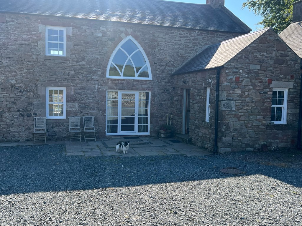
Hobkirk
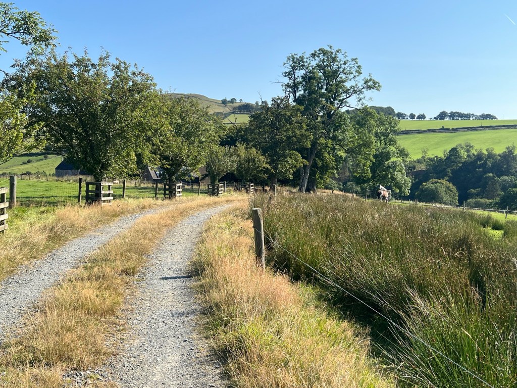
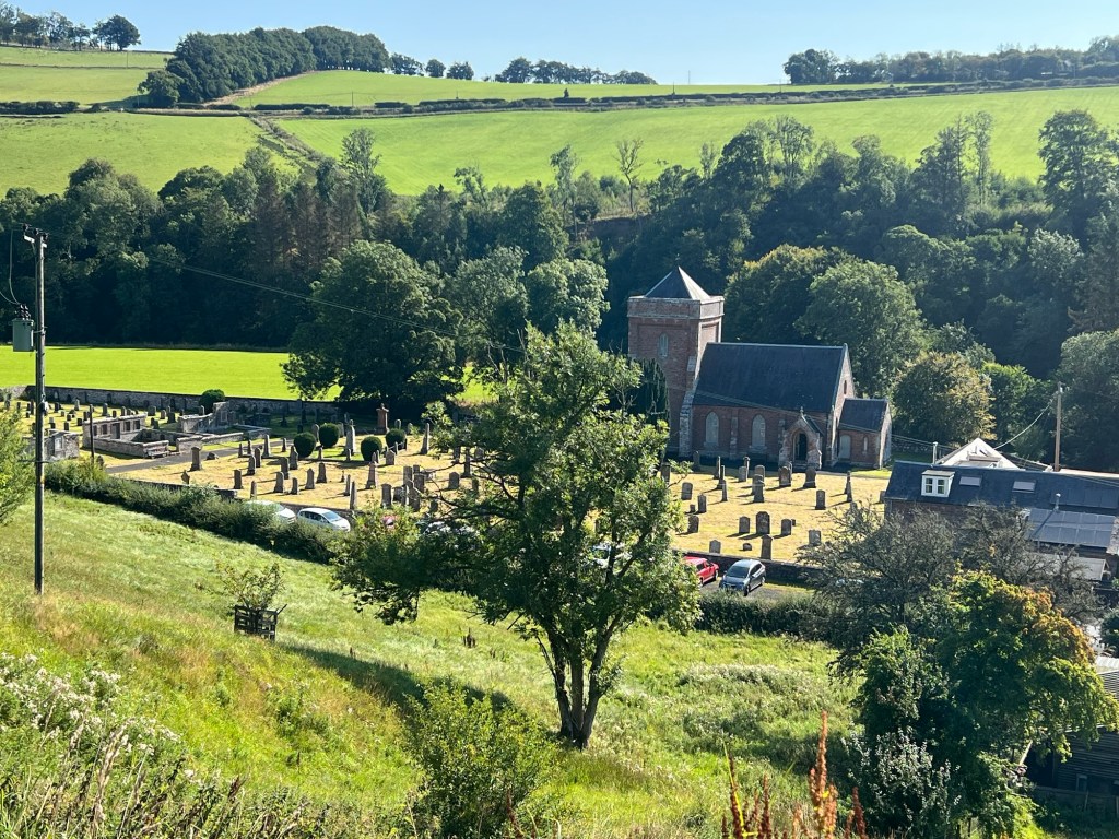
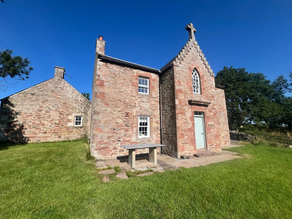
This is where we are staying. This building had always been in ruins as far back as the family that own the surrounding farm could remember. In an effort to have something done with it, the current owner’s father gave it to him on his 30th birthday. Only then did he find out that his older sisters had both been offered it on their birthdays but had turned it down. No one seems to know what its original function was – obviously something religious – but beyond that, no idea. There is an old path going directly down the hill to the church. It is very comfortable and quiet (if you ignore the sheep and cows!)
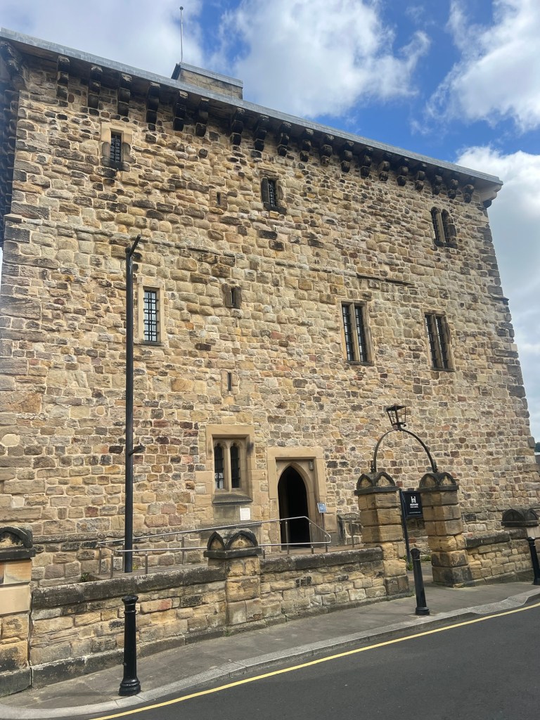
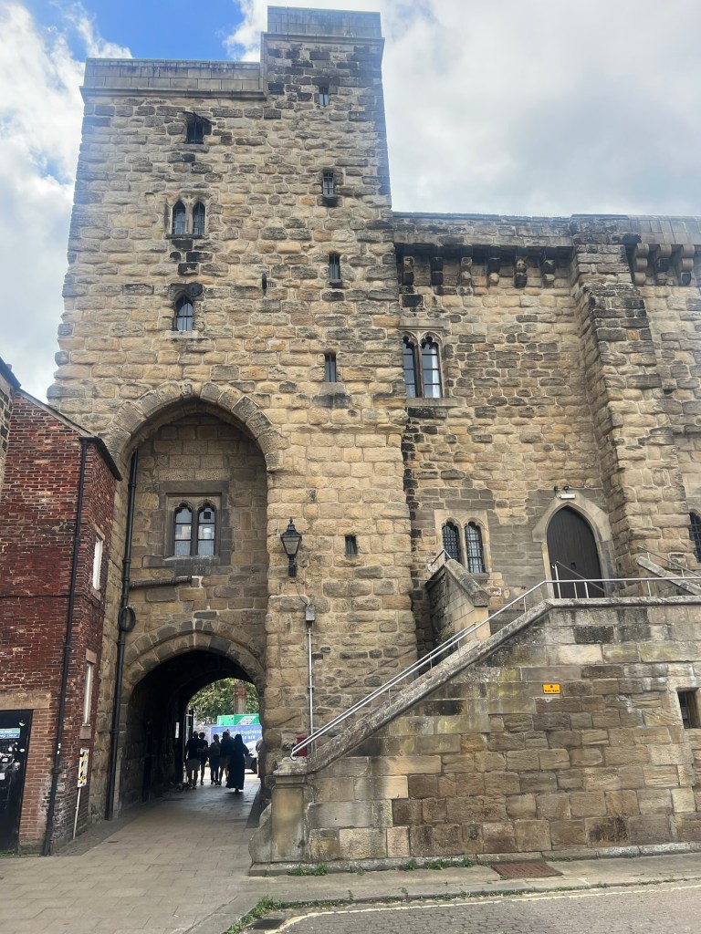
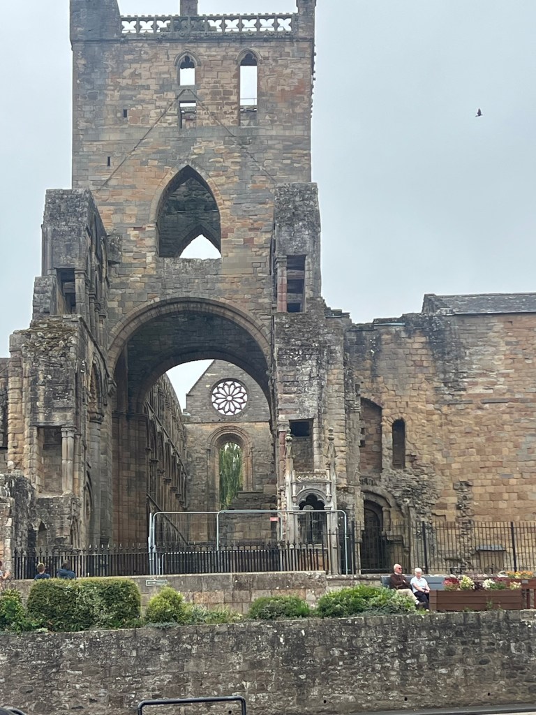
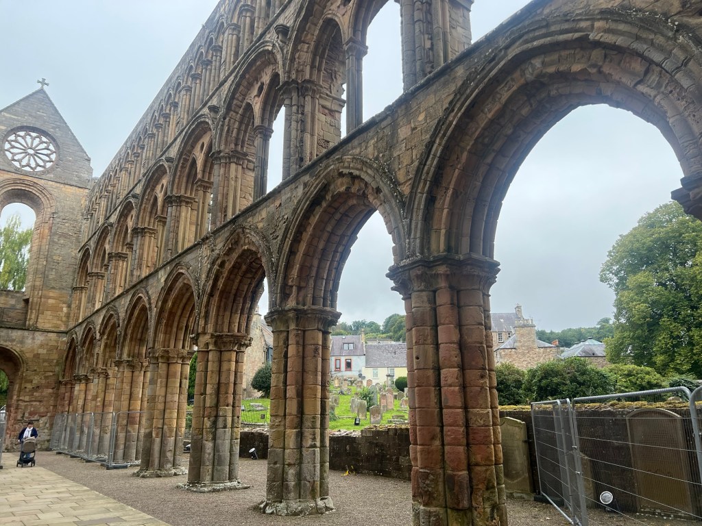
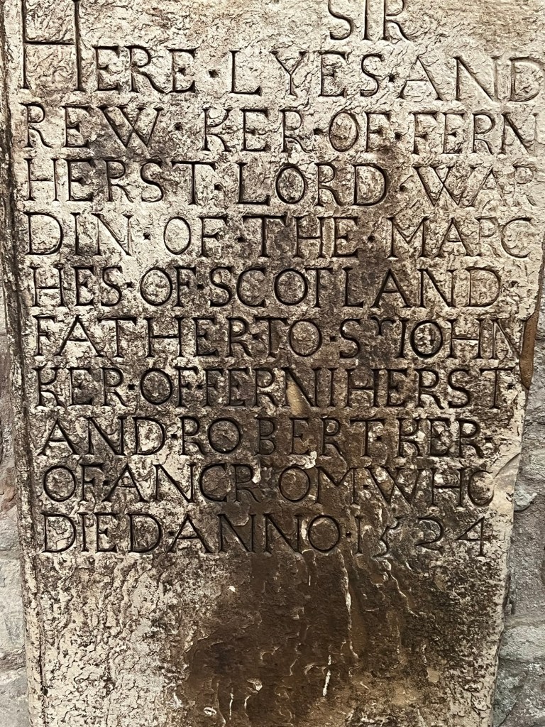
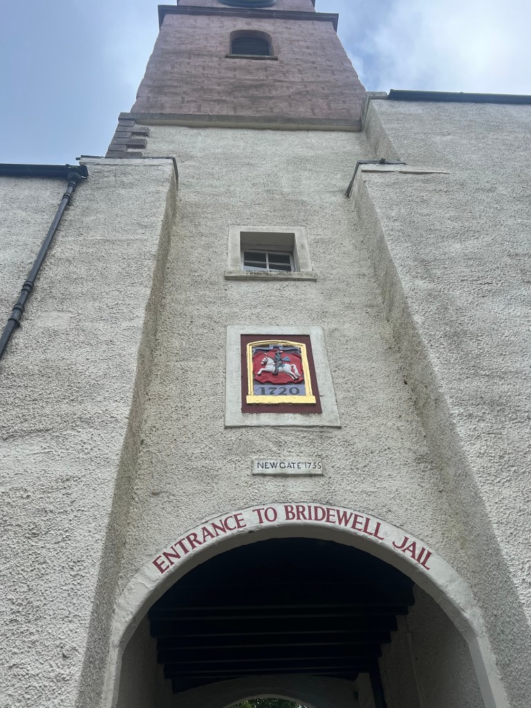
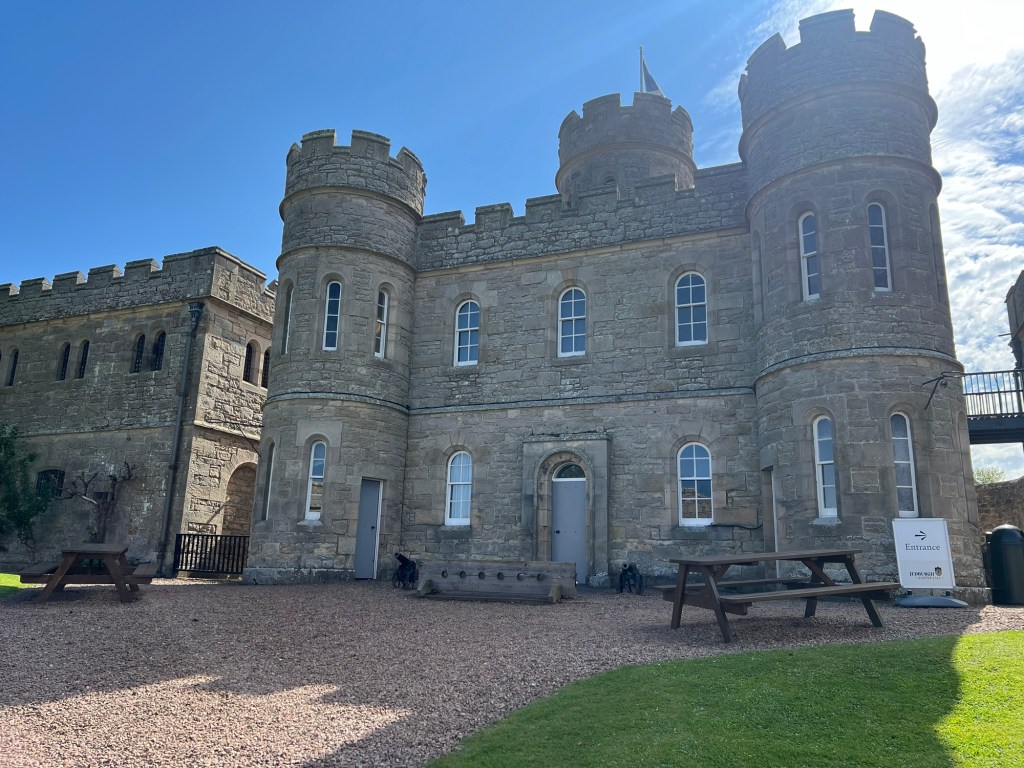
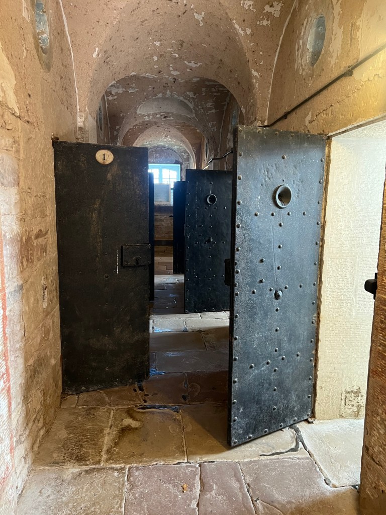
Jedburgh
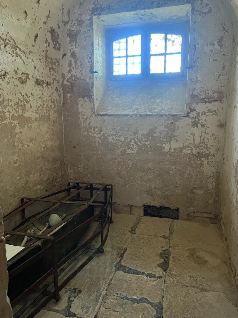
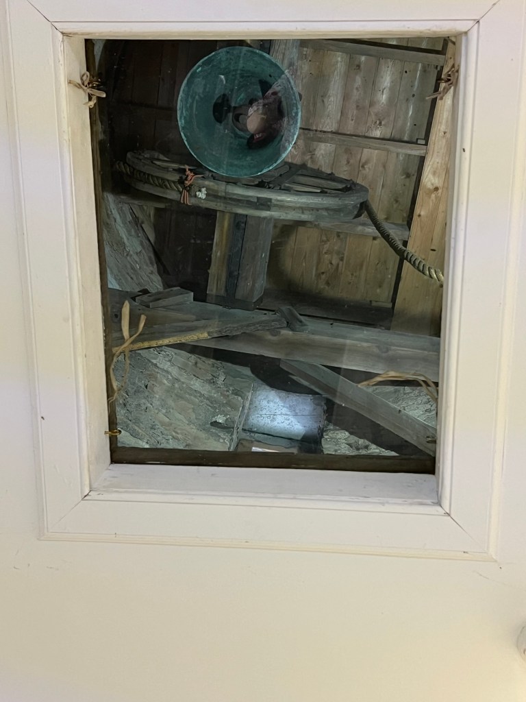
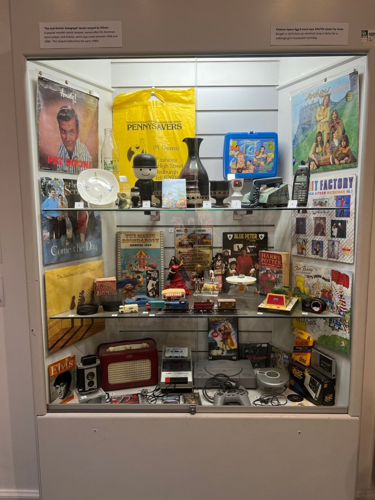
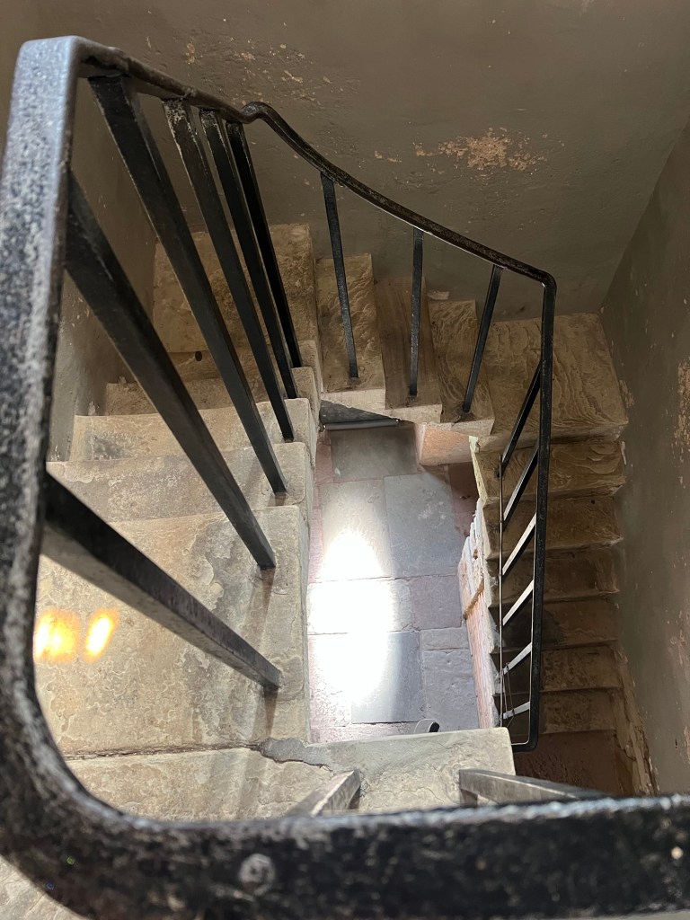
Small border town, sacked and burned on several occasions. (https://www.visitscotland.com/info/towns-villages/jedburgh-p244561). Extensive ruins of a Norman abbey, 19C prison and various museums.
Hawick
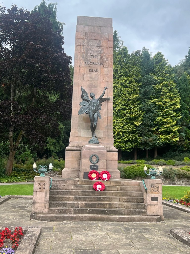
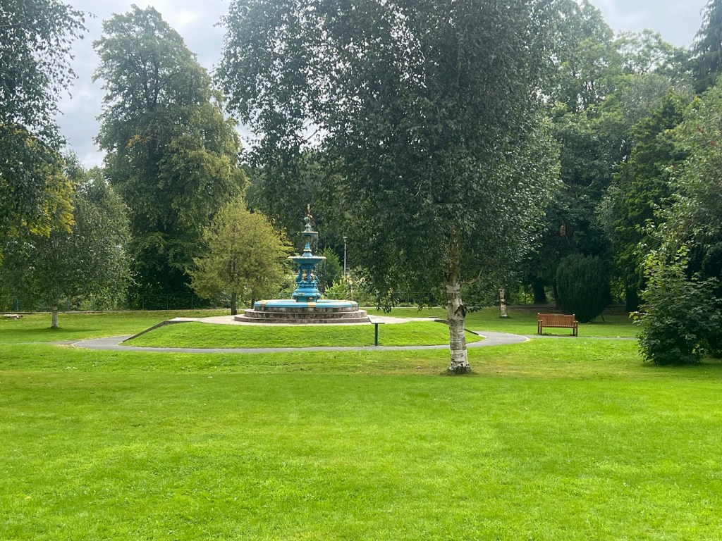
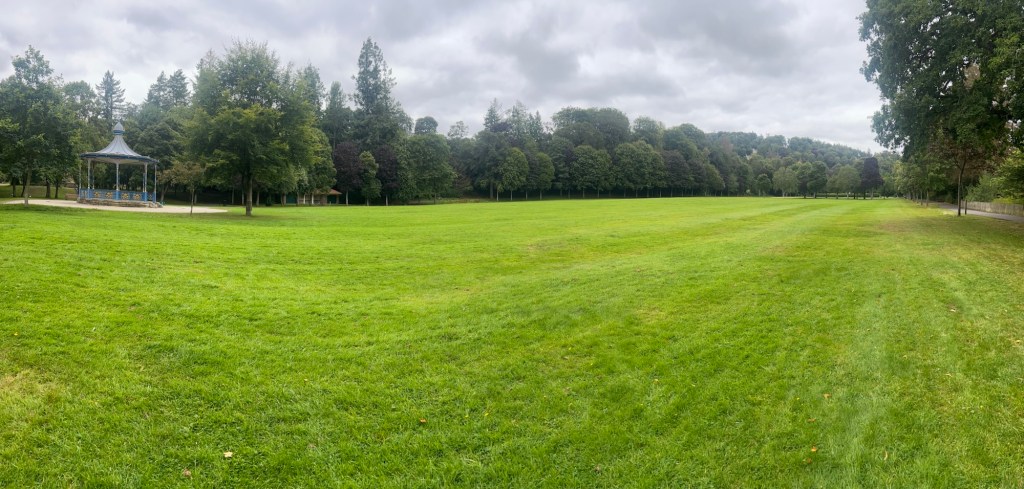
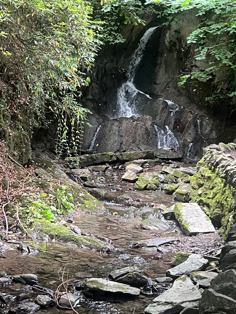
Another border town, much raided and damaged. A centre of the milling industry and it still has a range of places where you can buy cashmere, tartan and various other woollen items. Went for a long walk round Wilton Park, a lovely bit of Victoriana along the side of the River Teviot.

Lovely pics and memories! I’m glad you got to Hawick – the main street is dying/re-emerging in patches. There used to be a cafe on a bridge where you could watch otters playing in the river in the middle of the town, but it got swept away in a recent flood. There’s likely to be a Youtube video of it going downstream somewhere. Love to Dolly.xxx
LikeLiked by 1 person