‘If you scratch Orkney she bleeds archeology’. Seems to be a common saying around here. There are certainly more humps, bumps and standing stones than in your average landscape. The Neolithic remains are the most extensive anywhere – hence the UNESCO designation. Warning – it poured with rain all day so the photos are a bit blurry.
Skara Brae
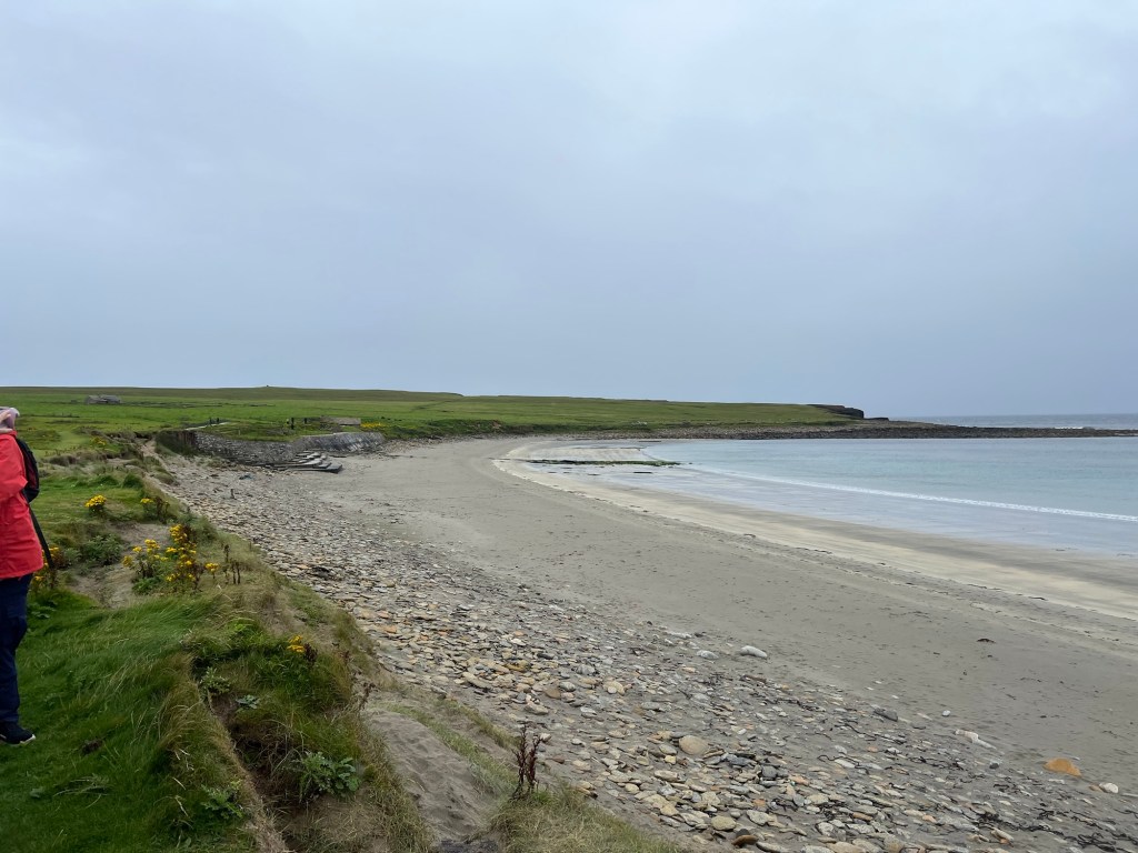
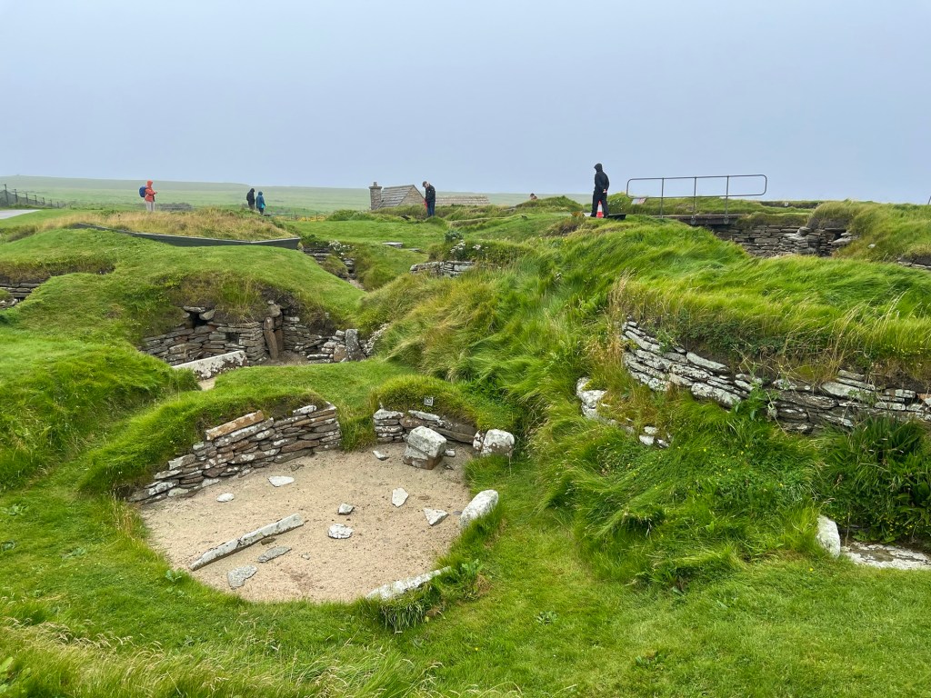
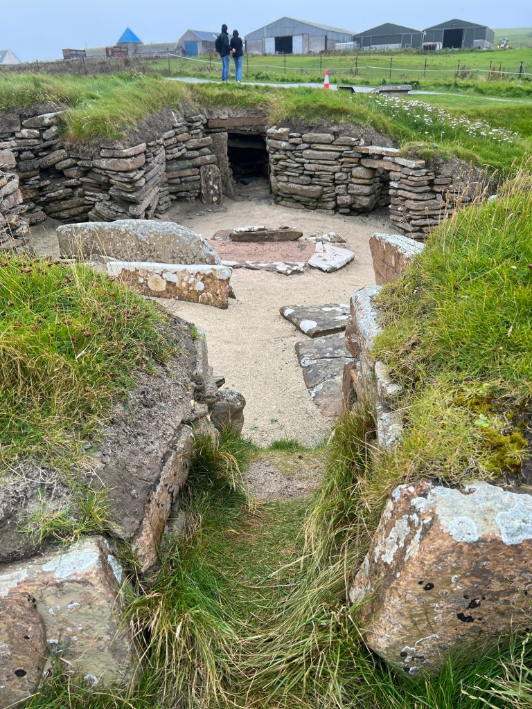
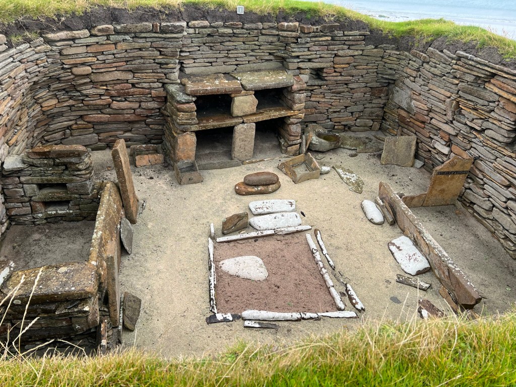
TThis is the Neolithic village discovered in the mid 19C when a storm blew the top off a sand dune. The laird at the time was a considerable antiquarian and he had it dug out and recorded. The houses that are available to view are only a part of it. The sea has advanced a good way since Neolithic times and may yet wash away what is left. (They had to move the visitor centre when a giant wave filled the till with water!). There is also possibly more further inland which the rabbits are making a valiant attempt at digging for lack of archeological funding.
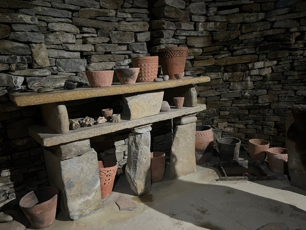
The photo above is taken in a replica of one of the houses which you are allowed to enter. The real ones have to be carefully walked around.
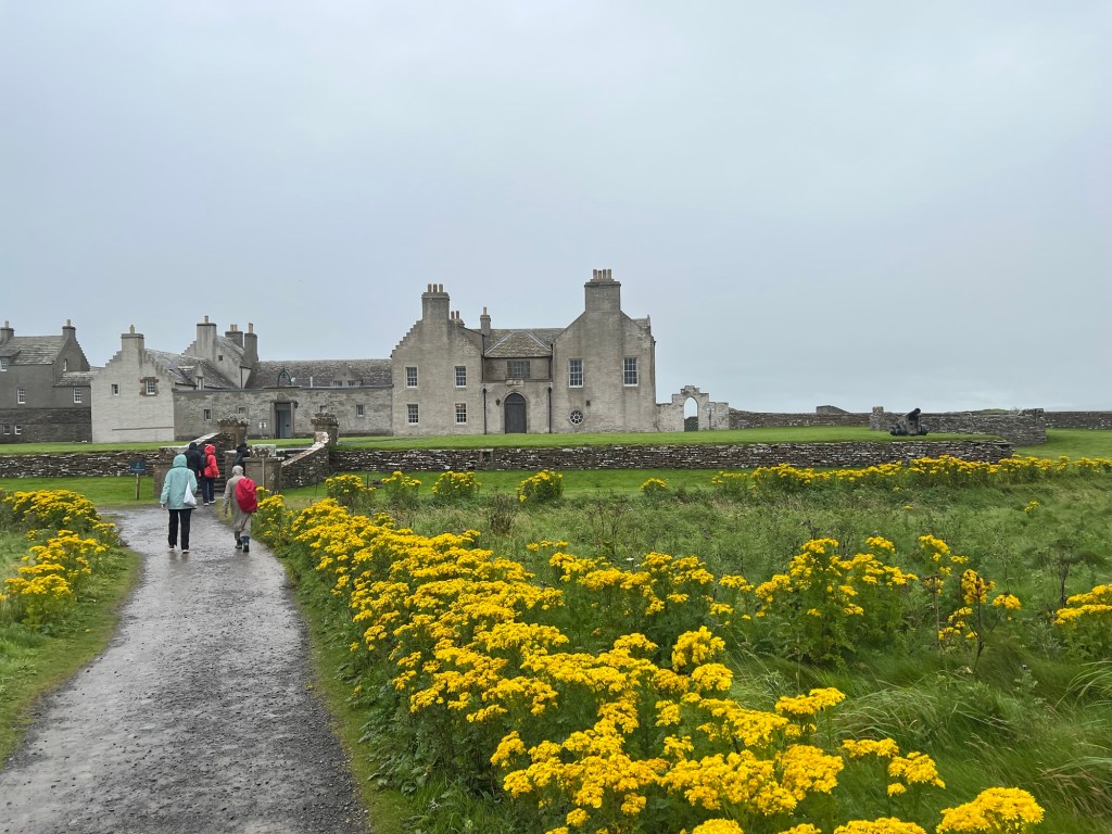
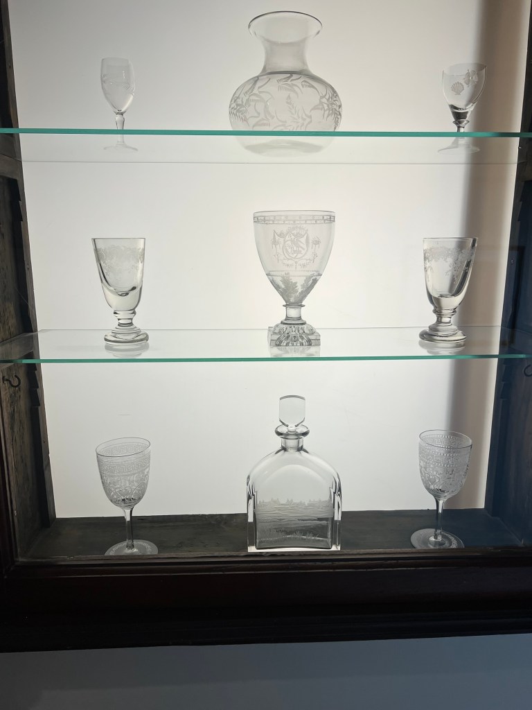
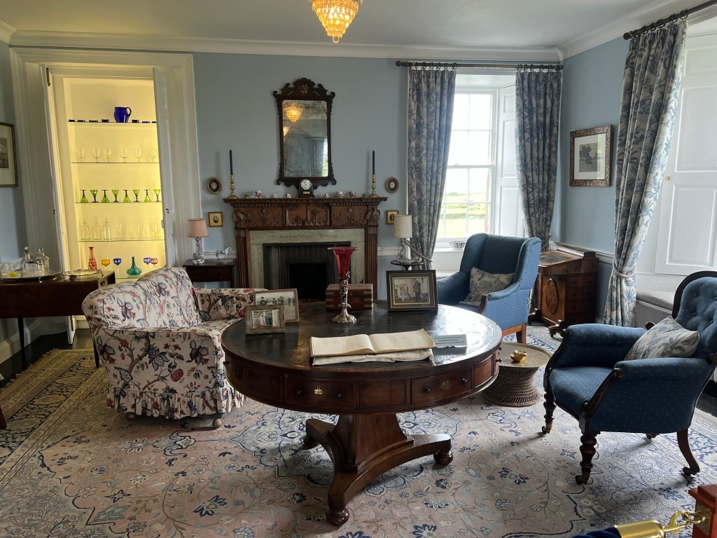
Skaill House
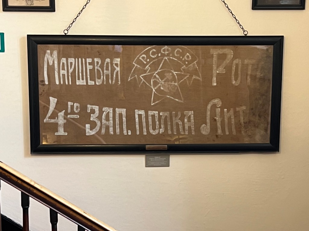
https://www.heraldscotland.com/news/23102596.october-revolution-scots-killed-fighting-russian-civil-war/
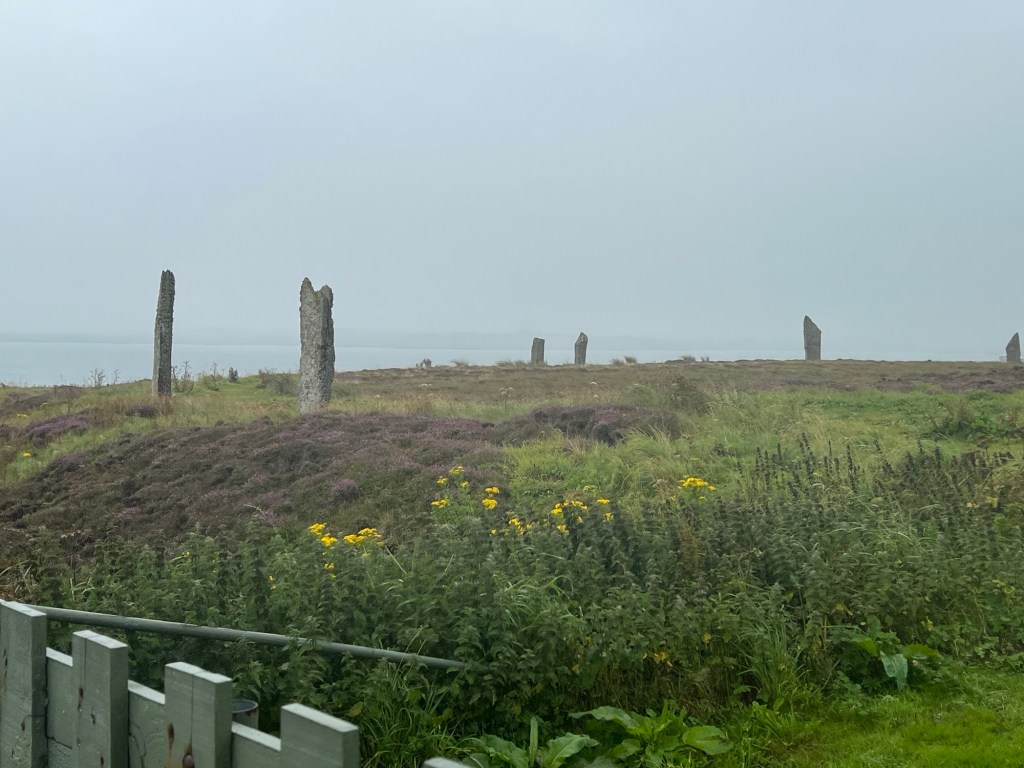
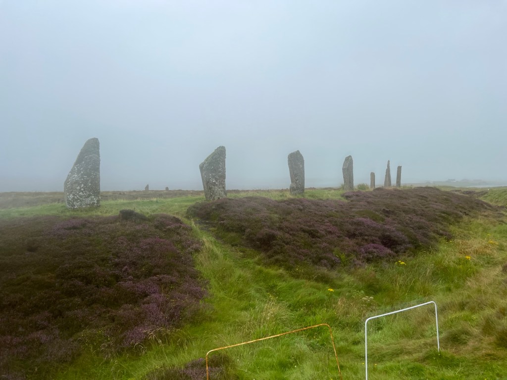
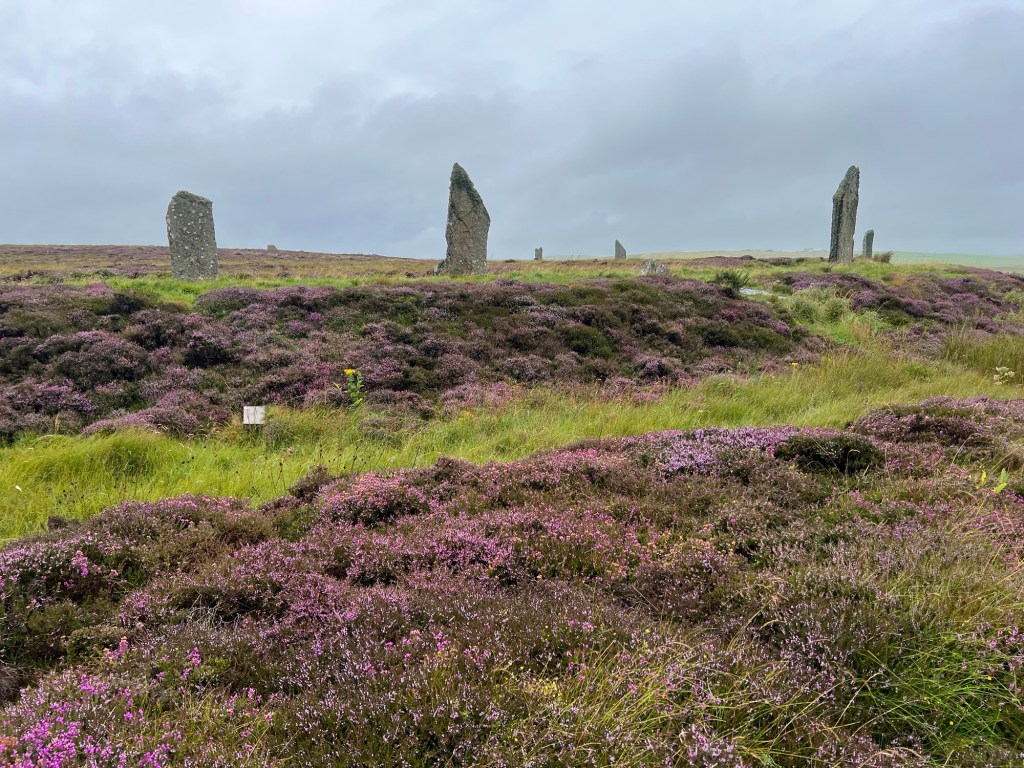
The Ring of Brodgar
The largest stone circle in the UK.
https://www.historicenvironment.scot/visit/all/ring-of-brodgar-stone-circle-and-henge/
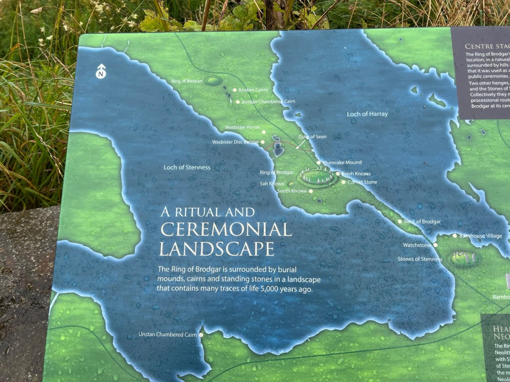
Barnhouse Settlement
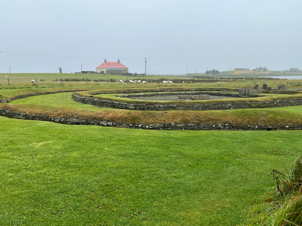
When archaeologists started investigating the Neolithic sites on Orkney, it was presumed that the ceremonial sites were built entirely separately from where the people lived. The invention of things (described as ‘science fiction’ by at least two of the archaeologists concerned) such as geophysics and ground penetrating radar has proved this not to be true.
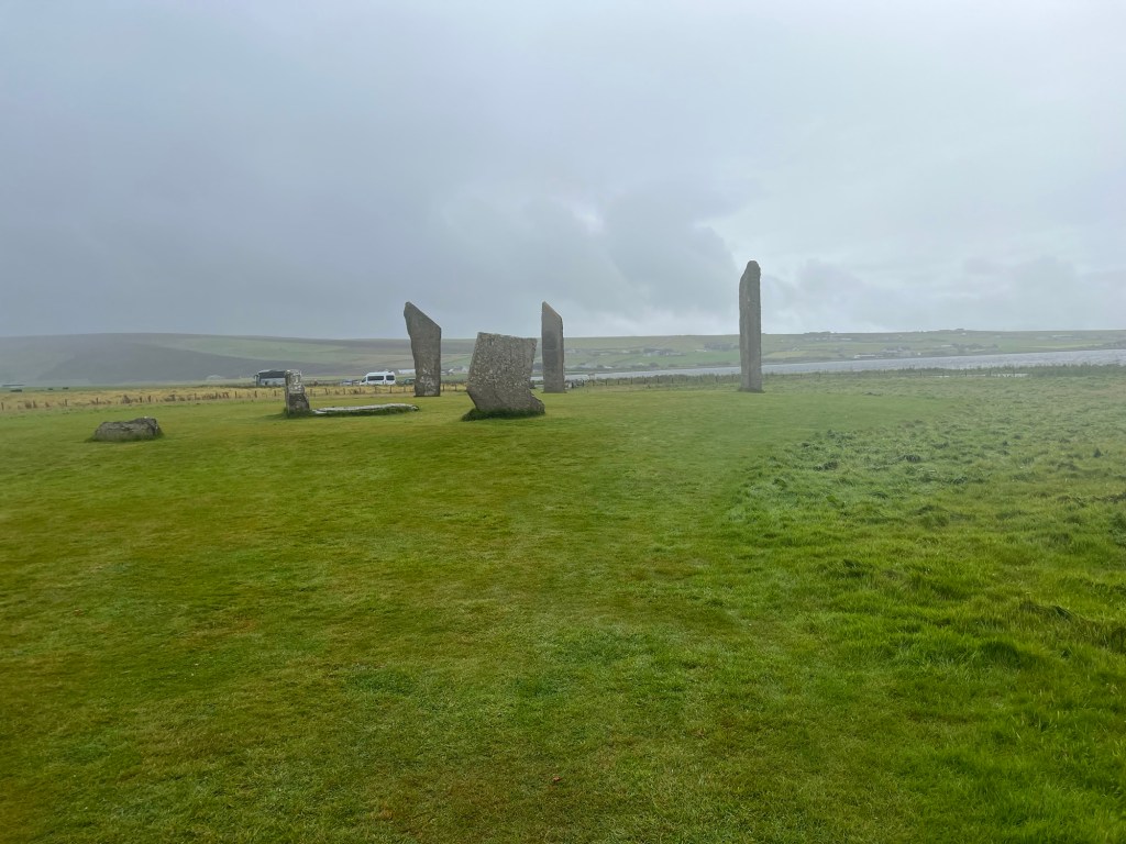
There used to be more stones than this and, off to the side, there was something called the Odin Stone. This had a hole through the middle where couples would hold hands and swear their troth. In 1814, the tenant farmer (who was originally from Caithness) decided to use the stones for building. He pulled down and smashed up several of them, including the Odin Stone. You can still see the marks where he drilled holes for dynamite to blow up one of the stones. The locals, for whom this was a sacred site, burned his house down – twice!
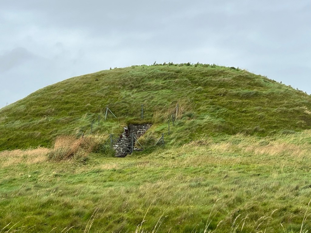
Maeshowe
This is a Neolithic passage tomb and well known across the world by people who are interested in that sort of thing. It was built as a communal tomb with a central area and side rooms where skeletons were put. It was built of solid blocks of stone, some of them standing stones reused on their sides. The roof was made by chamfering the stones inwards until they reached a point. It was then covered with several layers of clay and vegetation followed by a final layer of clay. Our guide described it as looking like a pile of waterproof snot when it was finished.
In the 12C, a group of Vikings were trapped in a snowstorm and broke into the tomb. They entertained themselves by writing their names and other graffiti all over the stones.
In the 19C, someone calling themselves an archaeologist decided to investigate. He started by taking the roof off. He then removed all the detritus that had drifted into the place over the previous 5000 years or so – without recording anything. When he left, the tomb was open to the sky. This meant that the local sheep kept falling in. The farmer, tired of pulling out dead sheep, put a new roof on it. This is now painted white to prove it is not part of the original building.
The Ness of Brodgar, the other part of the UNESCO landscape, was visited a day or two later.


Amazing! Very interesting, I hadn’t realised there were so many different sites to see.Sorry about the weather.Hx
Yahoo Mail: Search, organise, conquer
LikeLiked by 1 person
Sorry, I seem to be working backwards – it’s been one of those weeks. On the one hand I’m sorry it was raining…on the other, it does make things extra atmospheric/spooky and frankly we’d welcome that amount of precipitation down here.
LikeLiked by 1 person
So do we, so do we!
LikeLike